How-to

Maps and more

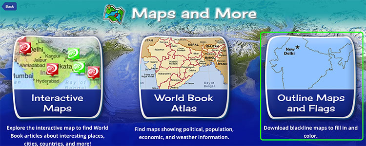
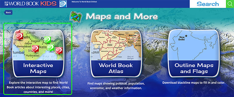
There are three map features within Kids: the atlas, interactive maps, and outline maps and flags. Read below to learn how to navigate and use each feature.


Atlas

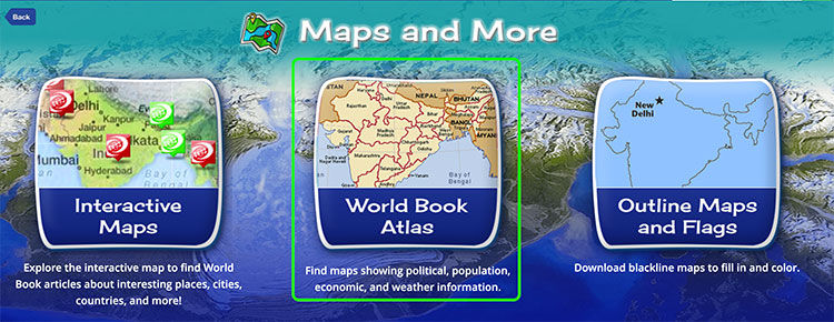
To view the hundreds of maps on Kids, choose the World Book Atlas option from the Maps and More landing page.

maps and more

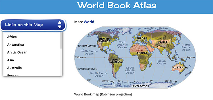
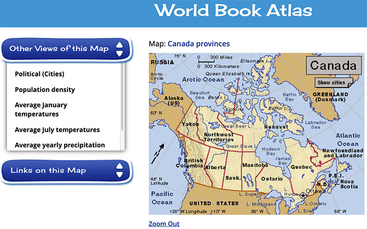
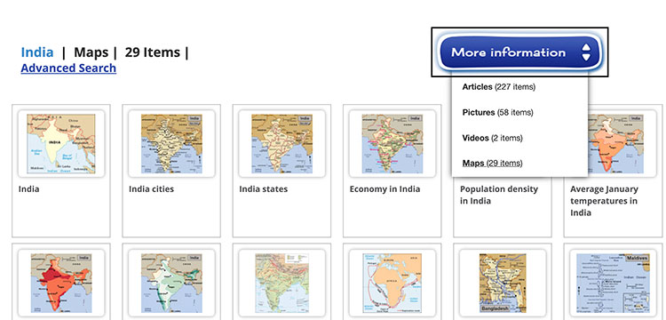
From this feature, there are several ways to find maps:

  1. Interactive Browsing. When you enter the Atlas, you will see a map of the world. You can either choose any of the labels on the image of the world to view a map that is specific to that place or select a place from the Links on this Map drop-down menu. For example, you could either click or tap on the North America label on the map to retrieve a map of that continent, or select North America from the drop-down menu.
    drop-down menu
  2. Related Maps. Many places also feature alternate views of the map, such as Population Density or Terrain. Choose one of these alternate views from the Other Views of this Map drop-down menu.
    other view of this map
  3. Searching. To search for a specific map, use the search box at the top right side of the feature and choose maps from the More Information drop-down menu on the right side of the page.
    search

Interactive maps

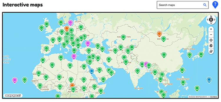
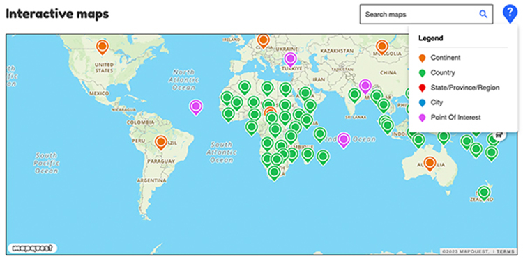
Interactive Maps integrate World Book articles into a searchable, interactive interface.

maps and more

World Book articles display as pins dropped on the map at their latitude and longitude coordinates.

pins

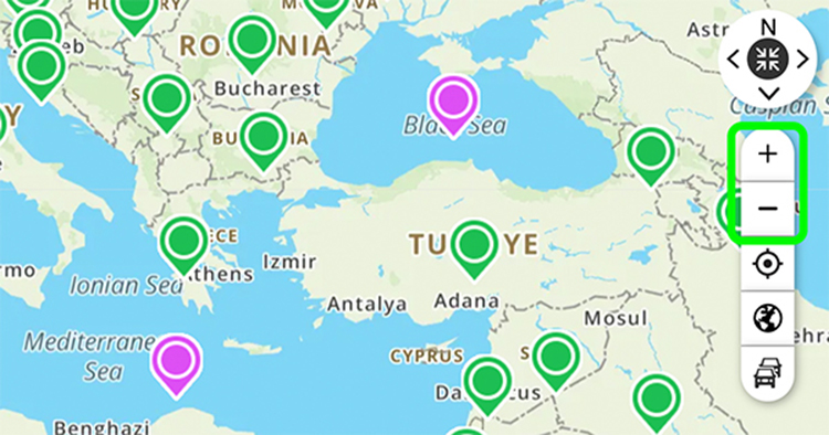
Explore the map by using the zoom and pan controls in the upper left side of the map.

zoom

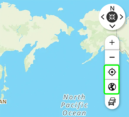
Or toggle between satellite and map view.

view

Zoom out to see continent and country pins and zoom in to see state/province/region and city pins as well as places of interest.

zoom_out

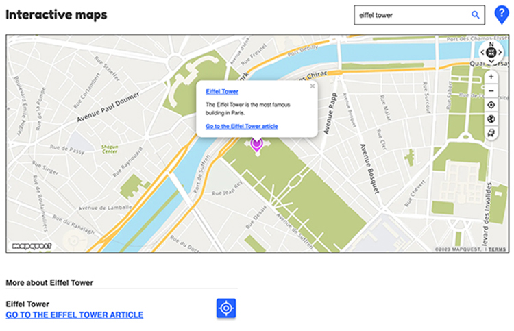
You can also search the map by entering keywords into the Interactive Maps search box. World Book articles geocoded to latitude and longitude coordinates will appear in search results.

map search

Outline maps and flags

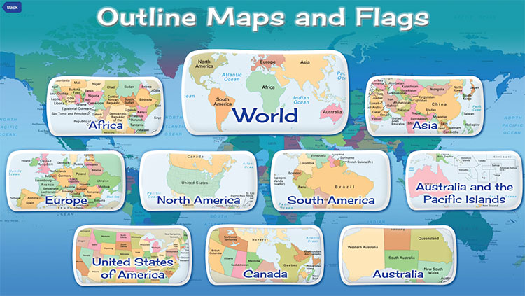
Choose Outline Maps and Flags from the Maps and More landing page to access printable worksheets of outline maps and flags for all the countries of the world, the U.S. states, the Australian states, and the Canadian provinces.

maps and more
  1. Click or tap a continent, region, or country. Or, select World to view maps of the world.
    World
  2. Use the drop-down menus to view a list of countries, states, or provinces associated with a location. World Book offers maps with words, such as the titles of countries, states, and provinces, and also without words (blank maps of Africa, Antarctica, Asia, Australia, Europe, North America, South America, and the world).
    drop down menu
  3. Click or tap one of the links to view a PDF of the map. These worksheets are available to download and print.
    Europe outline
chatsimple