How-to
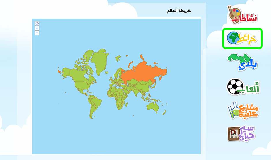
The Atlas is an up-to-date source of full-color maps of the world’s continents and countries.
A student can navigate through the Atlas by clicking labels on the maps.
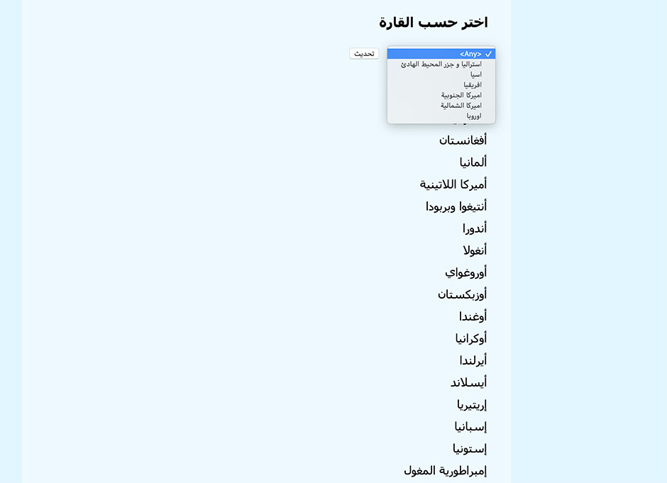
Students can also choose a country or geographic feature. Sort by continent using the dropdown menu.