How-to
The cartography tool, Cartografía provides multiple types of maps, including physical, political, population, economic, and climate. Researchers can narrow down selection by world, continent, or country view.
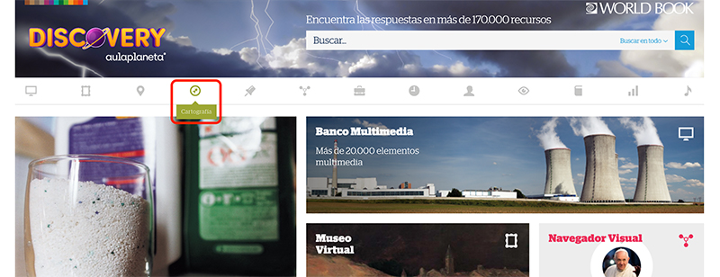
You can find Cartografía in the feature bar at the top of the homepage, indicated by the lime green compass icon.
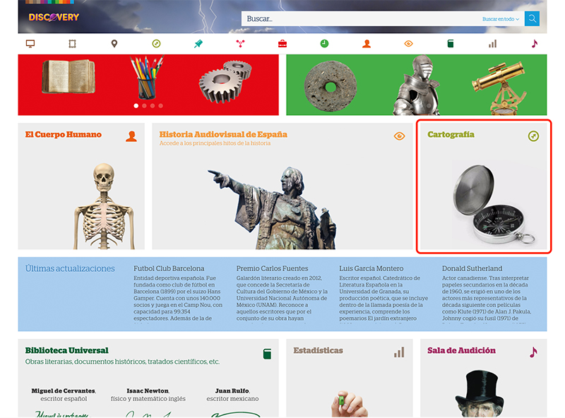
You can also find the Cartografía feature listed further down on homepage, indicated by the matching green compass icon.
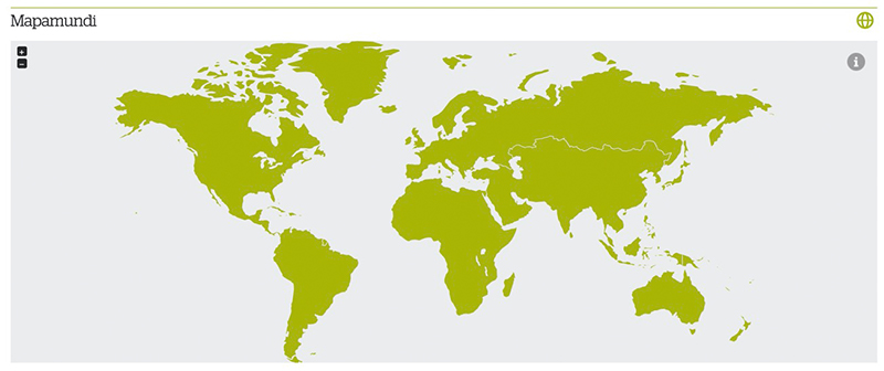
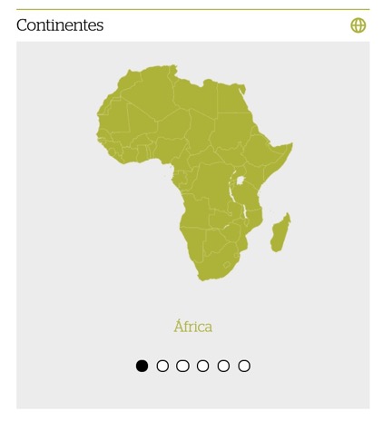
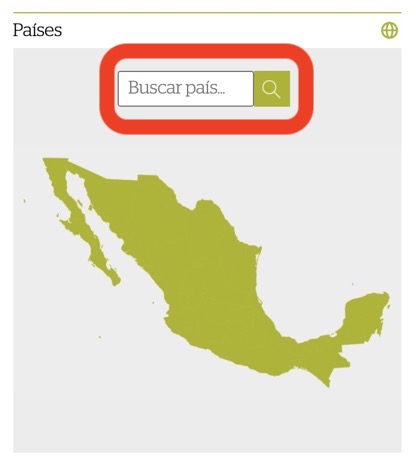
There are three ways to explore the hundreds of maps available on aulaPlaneta: by the Mapamundi (world map), by continent (continente), or by country (país).
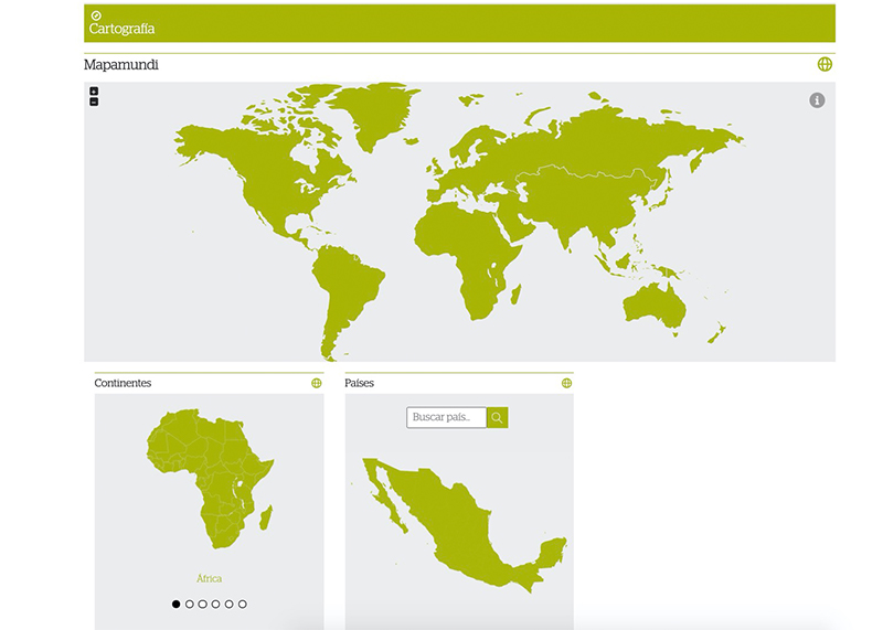
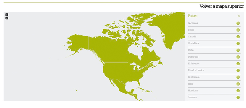
First, use the world map to click and explore.
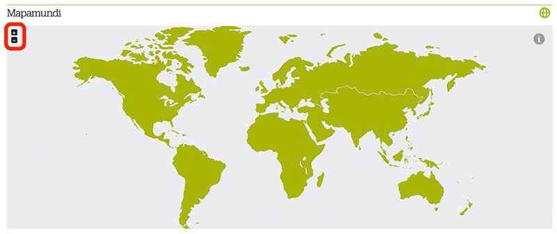
Zoom in and out using the zoom function in the top left corner.
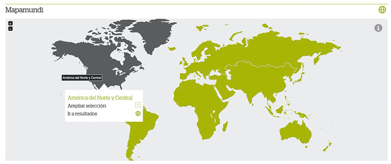
Click on a continent to see more options. Click ampliar selección to zoom in on that continent. Click ir a resultados to view the results for that continent.
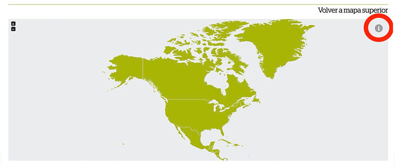
You can continue zooming in by clicking on a country. You can also click the information button in the top right corner to view all of the clickable options on the map.
Choosing an option from the information menu will bring you to those results.
Choose a continent and see results for all countries on that continent.
Or, search for a country and see all results for that country.
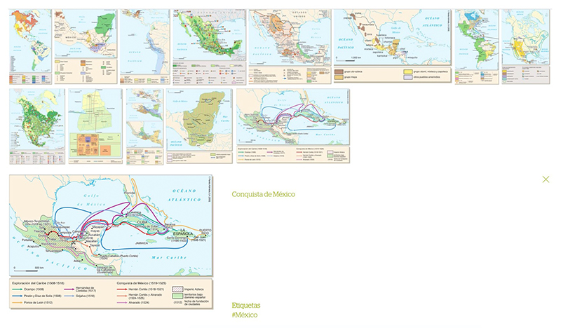
Regardless of how you search or browse for content, the results page will look the same.
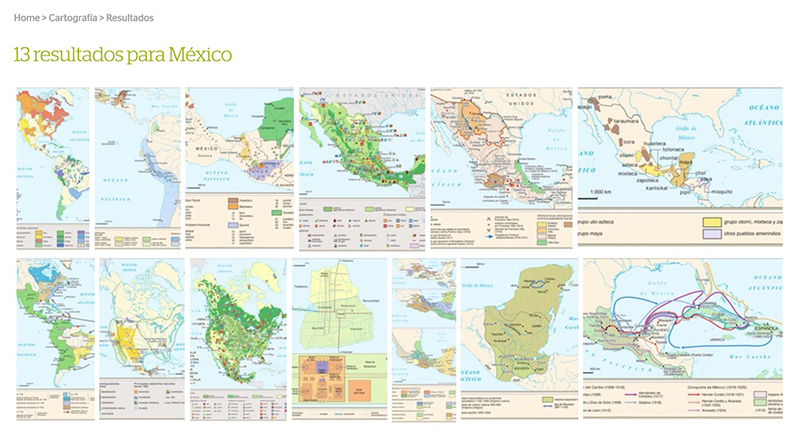
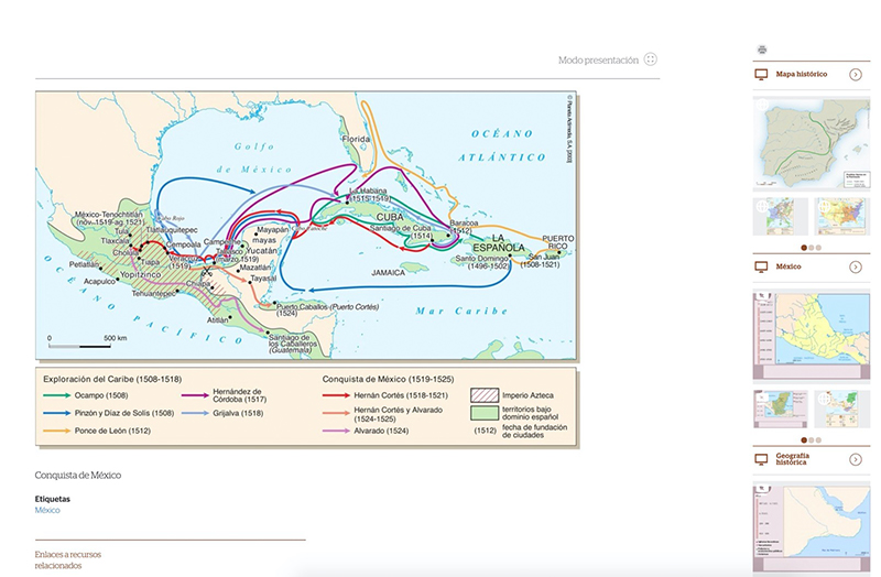
Click on a map to preview it, including an enlarged image and a title.
Click again to fully open the map. This page will also include links to related results.